
- April 23, 2024

-
-
Loading
Loading
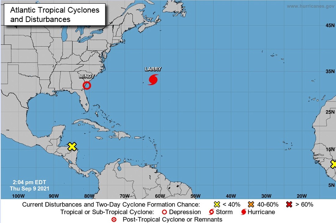
Flagler County officials are asking residents to keep a watchful eye on the tropical disturbance in the northeast Gulf of Mexico, which is heading in the general direction over the next day or so. This system may bring with it an increased chance of rain and the potential for worse weather.
“We are not expecting a hurricane but systems like this one can change in intensity and direction with little notice, so we are asking residents to be alert,” said Emergency Management Director Jonathan Lord. “If the system does develop into a tropical storm, it will be the 13th named storm of the year – Mindy.”
While expected rainfall is only about one inch, localized amounts of three to five inches are possible. A few strong storms may also occur, but currently the bulk of the rainfall and higher risks of severe weather remains outside of the Flagler County area.
Hurricane Larry – situated in the middle of the Atlantic Ocean – is starting to create strong rip currents at Flagler’s beaches, and will continue to do so for the next several days.
“Most residents know to be aware for rip currents, but it’s worth noting for those less familiar,” Lord said. “Please don’t take unnecessary chances and swim near a lifeguard if at all possible.”
Stay informed by signing up for Alert Flagler at www.flaglercounty.gov/alertflagler.
For more information go to www.flaglercounty.gov/emergency and follow Emergency Management on social media at: