- April 23, 2024

-
-
Loading
Loading
Flagler County will assign a staff member to be a contact person for the Florida Inland Navigation District and help draw up plans for commercial access points along the Intracoastal Waterway.
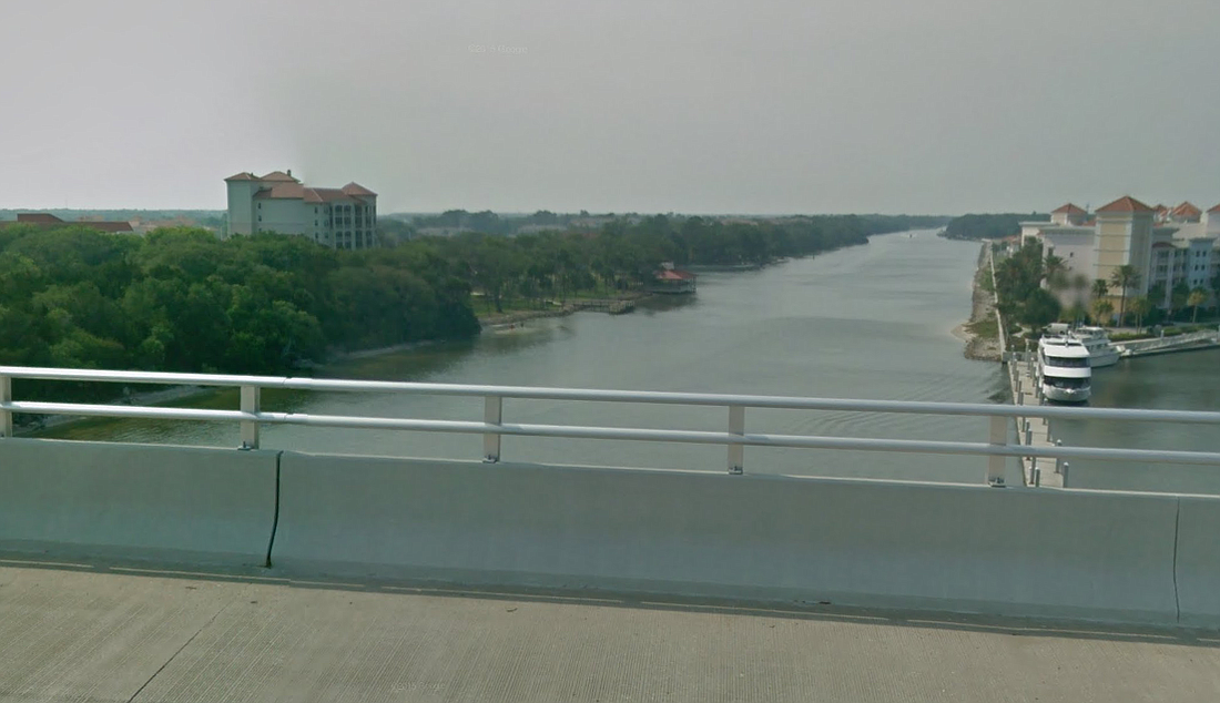
The Florida Inland Navigation District — on FIND — is a 12-county special taxing district created in 1927 to help raise and manage funds for the Intracoastal Waterway, which is itself managed by the Army Corps of Engineers.
Among FIND's concerns are making sure that enough locations are set aside for contractors doing marine construction work to access the waterway, FIND vice chairman and former Palm Coast mayor Jon Netts told the County Commission at a March 6 County Commission meeting.
"Big or small, they have to have a way to get onto the water, with their construction equipment," Netts said. "As the waterfront develops, from the whole length, from Nassau County down to Miami-Dade, the number of commercial access points is decreasing. ... "What I don't want to have happen is, 50 years from now, someone says, 'What were those people thinking about 50 years ago when they let this happen?'"
FIND has employed surveyors to find out where there are existing and potential commercial access points. Flagler County needs to have a total of about four commercial access points, Netts said, which would be spread across the county's 18 miles of waterway. Surveyors employed by FIND will begin working in the Flagler County starting March 9, Netts said.
FIND will hopes to produce a document on possible locations by mid-April, and Netts requested that the County Commission convene a meeting with the communities on the waterway to review the data from the document and make decisions.
The county can also apply for up to $100,000 in FIND grant to do maritime master planning for the rest of the waterway, Netts said, and consider what the best use of waterfront land would be, and whether any of it should be redeveloped for different uses.
"What kind of a vision can we put together today to ensure that 50 years from now, this assets is the best that it could possibly be," Netts said.
County Administrator Craig Coffey said the county would appoint Tim Telfer, its environmental manager, as a point person for the FIND surveying team.
FIND money has been used for the construction of Betty Steflik Memorial Preserve, Waterfront Park and the Long Creek Nature Preserve, and renovations to Herschel King Park, Moody Boat Ramp and Bing's Landing, Netts said.